WALKS IN PAU
A walk through the Hédas
Follow the ravine beneath the city centre from the Pont des Cordeliers to Place d’Espagne.
Before you start
Start: Pont des Cordeliers. Finish: Place d’Espagne via rue du Hédas.
Distance and time: Awaiting a measured walk.
Access: The ravine is below street level. Check that the lift you plan to use is operating.
Toilets and cafés: Plan a café break in the upper town. Public toilet locations are awaiting confirmation.
Open walking directions in Google Maps. Follow the signed access into the ravine.
Cross the Pont des Cordeliers and look down before you descend. The bridge gives you a view of the route below and of the height the old ravine once put between streets.
1. Start at the Pont des Cordeliers
Look at where the bridge meets the streets on either side. Then use a signed access point to get down into the Hédas.
2. Follow the former stream bed
Once you are on rue du Hédas, look back up at the bridge. The view from below explains the change in level. Read about the Hédas and its former stream.
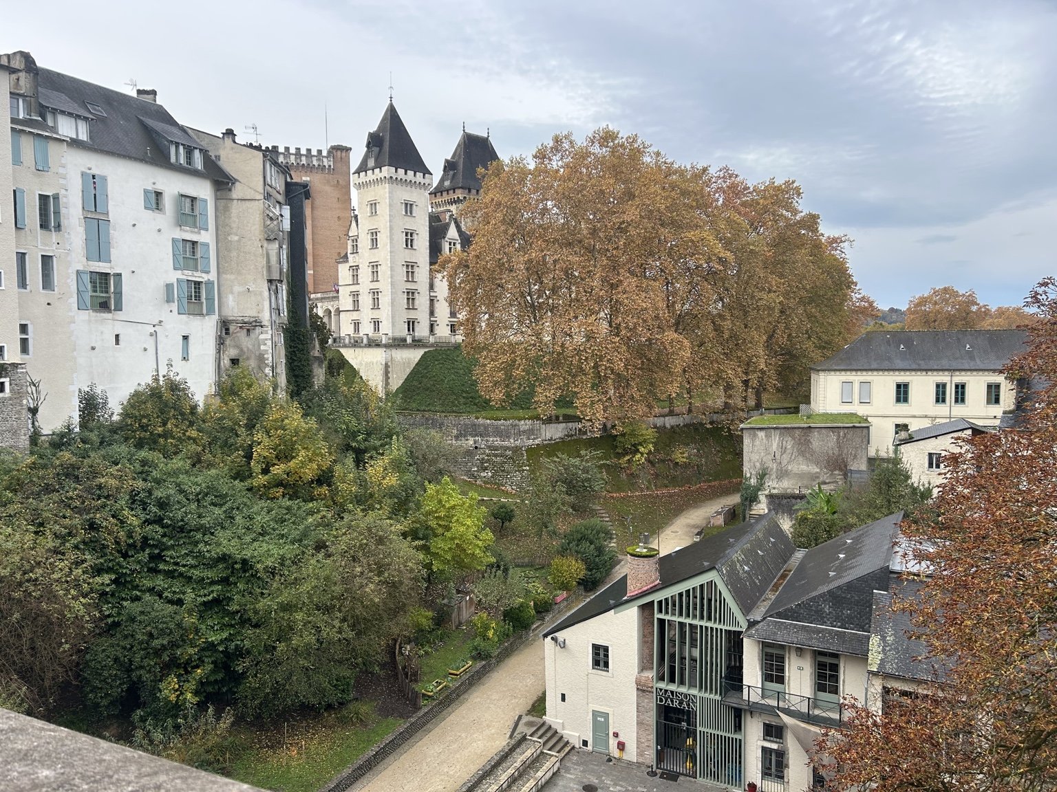 Looking down into the Hédas.
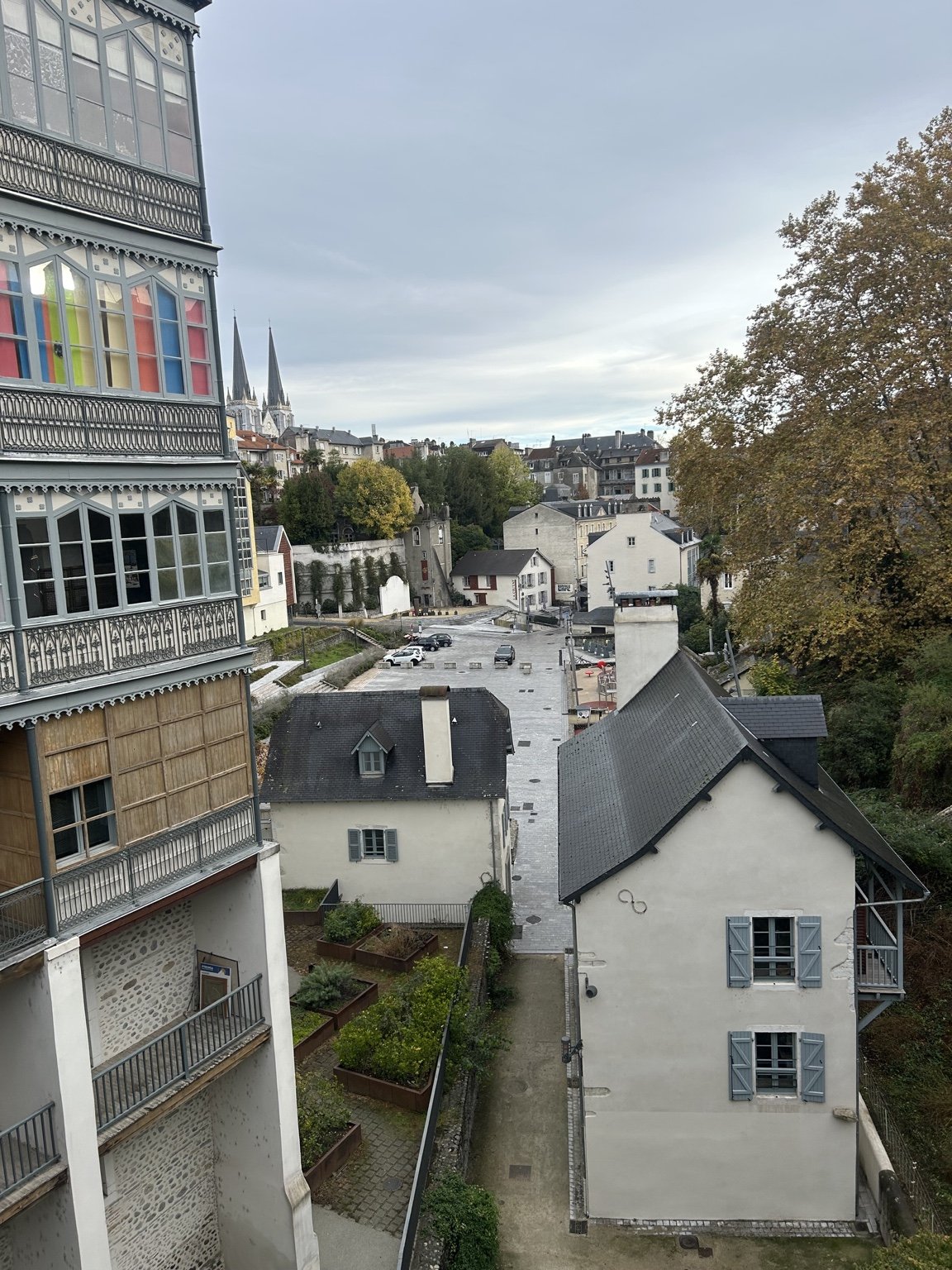 The streets above and below the ravine.
3. Finish at Place d’Espagne
Continue towards Place d’Espagne. If you plan to use the lift to reach the upper town, check that it is operating. Check your access route in advance if you need to avoid stairs or steep slopes.
The old washhouse and the Lions Fountain
Make a short detour west from the Pont des Cordeliers towards the château. Look for the lavoir du Hédas near rue René Fournets and the fontaine aux Lions opposite. The nineteenth-century washhouse was where people came to wash clothes and linen by hand. Across from it, the fountain is a reminder of where people once fetched water.
Look closer. Stand between the two and look at the opening in the washhouse facing the fountain. The restoration enlarged it to open the building towards the square.
Source: the washhouse restoration project
Access and a longer option
The tourist office lists lifts at rue des Cordeliers and Place d’Espagne. Check lift operation before relying on either. See the tourist office’s Hédas access information.
For a longer walk, the city’s 4.1 km Hédas-to-Boulevard circuit gives step-by-step directions in French from Place Récaborde through Place d’Espagne and Parc Beaumont. Its directions include stairs at Place d’Espagne.
Résumé en français
Depuis le pont des Cordeliers, observez le ravin avant de descendre. Suivez la rue du Hédas jusqu’à la place d’Espagne. Vérifiez les accès et le fonctionnement de l’ascenseur avant votre visite.
Back to Walks in Pau
Español